|
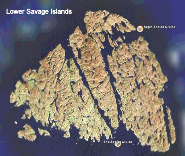
Google Earth Google Earth is a tool for viewing satellite images as if they were stitched together to form an entire virtual planet. If you do not already have Google Earth installed on your computer, you can download Google Earth for free. During the trip I took readings with my GPS at various locations including all of the anchorages. You can take a virtual satellite tour which follows the route of our expedition. If Google Earth is installed on your computer, click on the link below to load the information into the program: Note: Internet Explorer may change the filename to GreenlandLabrador.zip. If this happens, save the file as GreenlandLabrador.kmz or change the name after it has been saved and double click it in Explorer. To view the tour as a movie, select Greenland Wild Labrador Stops and press F10. You can adjust the speed of the tour in the Google Earth options. The times are the exact time at which we were in the marked location.
Links to more information:
|