|
Greenland and Wild Labrador Expedition
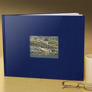
From the 4,000 photographs we took on the trip, we have selected 75 for printing in a high quality hard cover coffee table photo book. The book measures 8.75" x 11.25". The images are professionally printed to the highest quality standards on archival paper so they will retain their brilliance for years to come. Learn more.
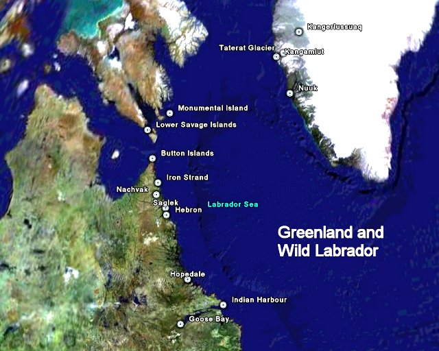
Take a Google Earth tour of the expedition route. Visit all of the locations by satellite imagery.
Click on a location on the map to view the web page. A Chipewyan guide named Saltatha once asked a French priest what lay beyond the present life. “You have told me heaven is very beautiful,” he said. “Now tell me one more thing. Is it more beautiful than the country of the muskoxen in the summer, when sometimes the mist blows over the lakes, and sometimes the water is blue, and the loons cry very often? That is beautiful. If heaven is more beautiful, I will be glad. I will be content to rest there until I am very old.”
- Arctic Dreams by Barry Lopez
This site is a work in progress... If you would like to contribute, stories, photos, art, or other relevant material, or if you find errors in my text, please contact me. |